__
ON THE ROAD 2021

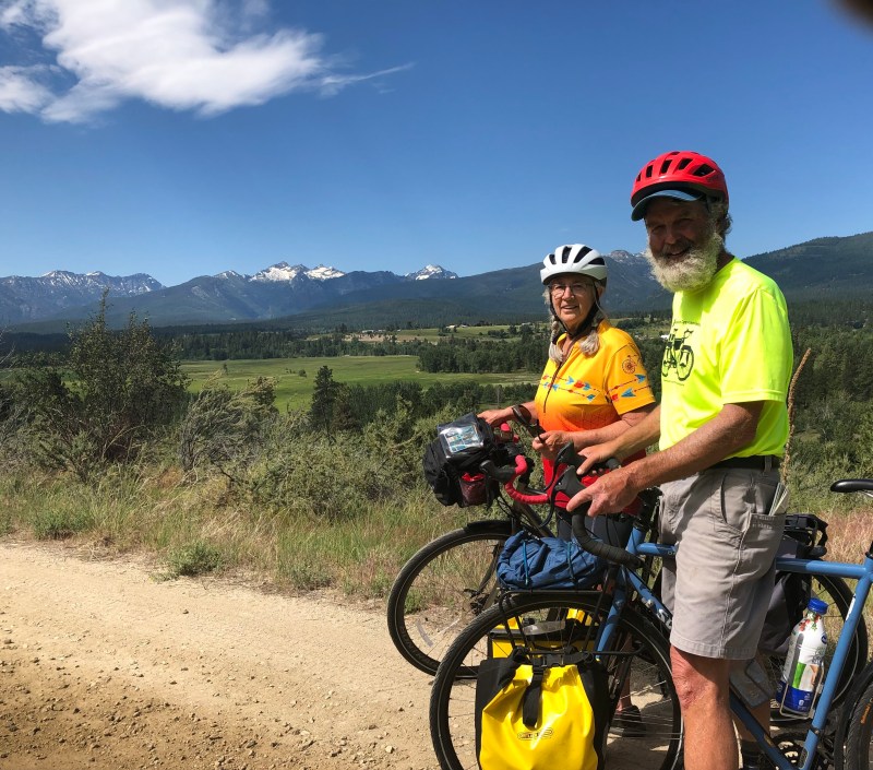
Day 19: Stevenson to Darby, Montana
Today we took the road less travelled, and it made all the difference. We travelled gently upstream along the Bitterroot River. The first part of the ride was on a bike path which ran along a major highway – a safe, easy but very noisy ride. We then turned onto Adventure Cycling’s alternative route off the highway – we don’t think chosen as often because it is longer and mostly on a dirt road – and were awed by some of the most spectacular scenery we have seen so far. The Bitterroot Mountains are very beautiful: jagged and sharply vertical like the Tetons, many of them with snow in the higher elevations. The alternative road hung high as it wound through the valley, offering one outstanding view of the mountain range (and sometimes the river below) after another,
The attached photos don’t do justice to the beauty. In order to enable selfies, IPhones have extreme wide angle lenses (the wider the angle of the lens the greater the depth of field which is the area in focus). A disadvantage of wide angle lenses is they accentuate foreground while pushing out things in the distance, making them look much farther away (the opposite of a telephoto effect). So the mountain range which looks so far away in the attached photos were much closer and more stunning in reality.
Tomorrow promises to be one of the most challenging days of the trek, with a lengthy climb to almost 7,300 feet, two thousand feet above the Lolo Pass. We will start early to get as many riding hours as we can, avoid the continued stultifying heat, and the mid day sun which seems especially intense out here with the dry air and high elevations.